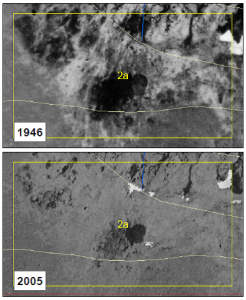
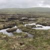
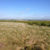
One of the projects we are currently working on involves assessing historic rates of peatland erosion and recovery. One of the techniques we use to look at this is comparing contemporary and historic imagery. The older imagery comes from RCAHMS in Edinburgh, and goes as far back as the 1940’s – the RAF were heavily involved in gathering air photos for a number of decades after the war ended. Over a 70-year period, the images from our study site show a wide range of responses but there appears to be a general trend towards the site re-vegetating overall.

